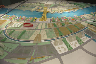
Image from Redlands.edu. University of Redlands
Shannon McElvaney at ESRI is working on a book on GeoDesign -- a growing movement of academics, community planning and development practitioners, ecosystem managers, and geospatial tool developers interested in the nexus between geography, design, planning, ecosystem management and community decision making. (....)GeoDesign is about decisions connected to place. It’s about context sensitive process, perspective, action, and implementation – nature and nurture integrated. The interplay of the two words offers a framework and paradigm for decision making. Geo can be as simple as 2 coordinates pinpointing location or as complex as the geological, biological, social, economic, and built elements associated with a park, city block, neighborhood, town, region, or watershed. Because the word Geo is often associated with the earth and its natural components – natural systems are given appropriate prominence in GeoDesign decision making. Design adds intention to decisions. It can lead to art, economic strategies, building construction, environmental mediation, or conservation priorities to name a few. It can be a single event but is more often an iterative process of continuous improvement. The GeoDesign movement represents a broad range of professionals interested in making the world a better place with belief that location-based decision making provides a valuable framework tackling a wide range of challenges.

No comments:
Post a Comment